Google Earth image of the West Fork San Gabriel River near mile 16 of the 2012 Mt. Disappointment
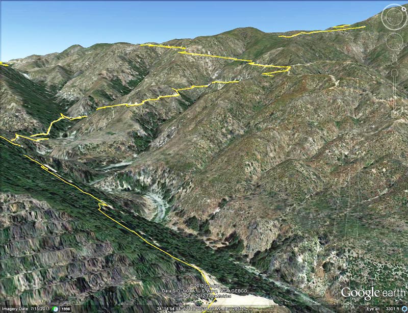 alt="Google Earth image of the West Fork San Gabriel River near mile 16 of the 2012 Mt. Disappointment 50K. The river crossing is the low point of the course and the start of the grueling 5.4 mile climb up to Shortcut Saddle." border="0">
Google Earth image of the West Fork San Gabriel River near mile 16 of the 2012 Mt. Disappointment 50K. The river crossing is the low point of the course and the start of the grueling 5.4 mile climb up to Shortcut Saddle.
Click this link to read more about this photograph.
Click on any of the following categories to see additional photography:
ABSTRACT - QUIRKY - LANDSCAPE - WILDLIFE - INSECTS - WILDFLOWERS - ADVENTURES
PHOTOGRAPHY
ON THE RUN
Copyright © 1995-2024 Gary Valle'. All Rights Reserved.
![]()