Shorts and short sleeves. Temperature 75 degrees.
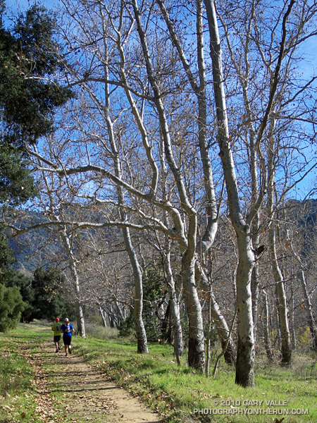
From today’s run from Kanan Rd. (Tunnel #1) to Tapia Park by way of Newton Canyon, upper Solstice Canyon, Castro Crest, Bulldog Motorway, Century Lake, and the Tapia Spur Trail.

Shorts and short sleeves. Temperature 75 degrees.
From today’s run from Kanan Rd. (Tunnel #1) to Tapia Park by way of Newton Canyon, upper Solstice Canyon, Castro Crest, Bulldog Motorway, Century Lake, and the Tapia Spur Trail.