
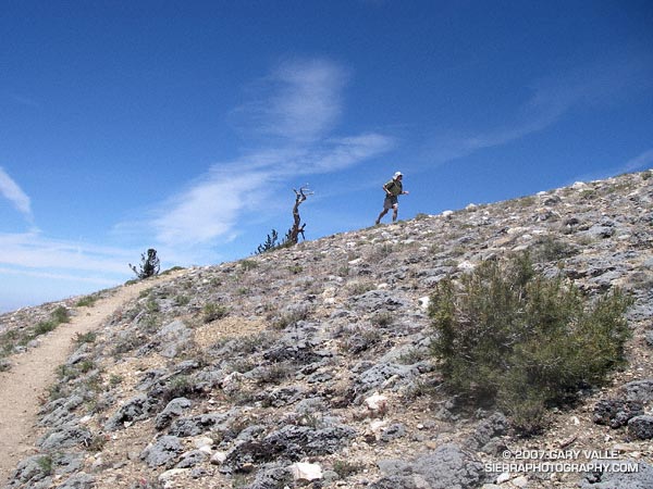
This was my first time back to Mt. Pinos since being caught in a fierce thunderstorm last July. No thunderstorms this time — just wonderful running on the air-conditioned ridge between Mt. Pinos and Mt. Abel.
My route was the same as that described in the post Vincent Tumamait Trail. Here’s a Google Earth image and Google Earth KMZ file of a GPS trace of the route.
Related posts: Thunderstorm, Vincent Tumamait Trail